Coordinate field teams with AI
Real-time GPS tracking, digital checklists, photo reports from mobile, georeferenced task assignment, and direct communication between field and office.
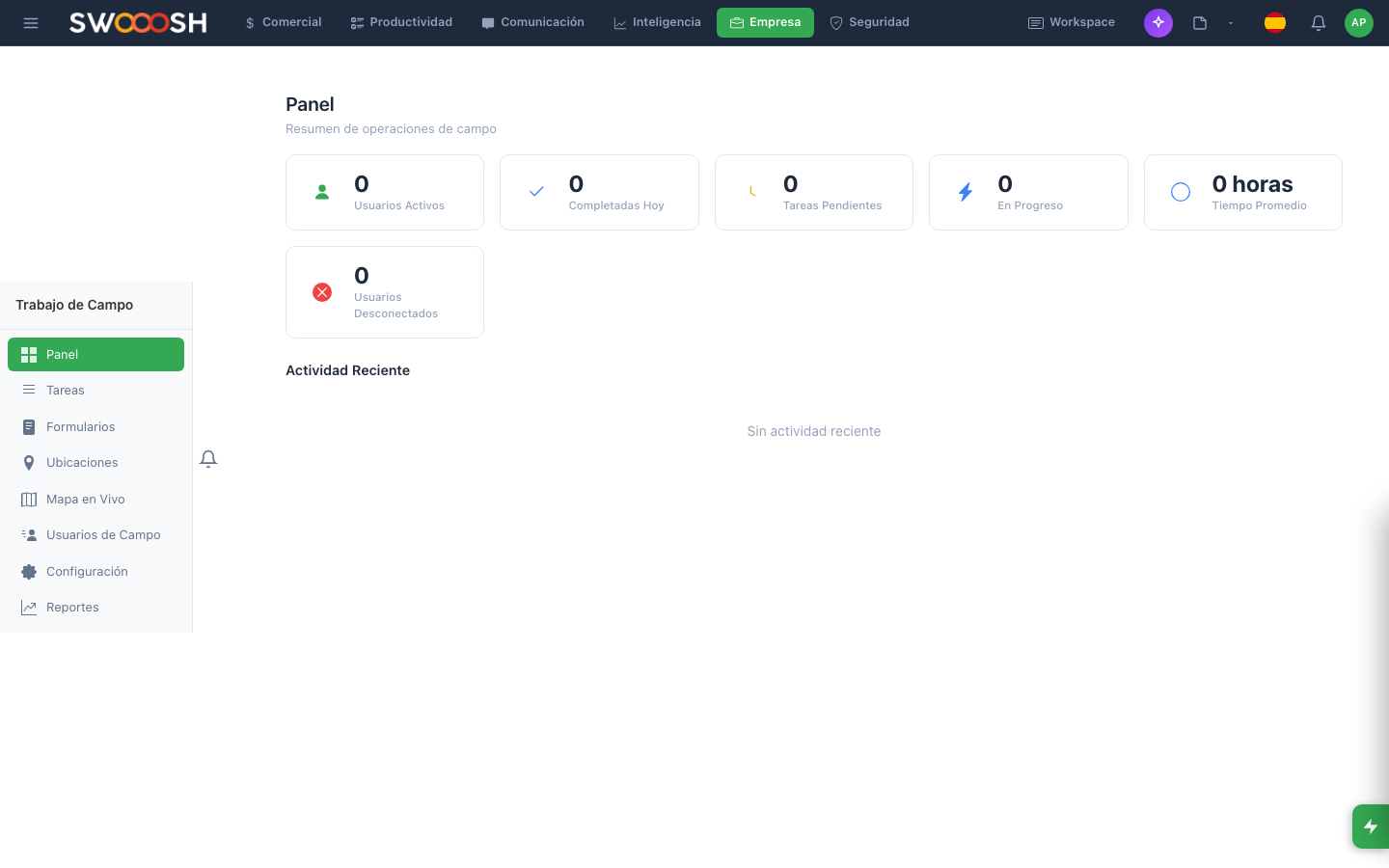
Field team coordination: GPS location, tasks, and reports in real time.
Field teams with zero visibility
Field teams with no communication to the office. No visibility of where each person is. Paper reports that arrive days later. Without a coordination system, field problems are discovered when it is already too late.
Are your field teams reporting via personal WhatsApp?
There's a better wayEverything you need to coordinate field teams
Real-time location of every team member on an interactive map.
Real-time GPS tracking
See the location of every team member on an interactive map. Route history, visit points, and time at each location. The office knows exactly where everyone is without needing to call.
- Interactive map with real-time location
- Route history and visit points
- Time at each location logged automatically
- Geofences for entry and exit alerts
Configurable checklists that the team completes from mobile at each site.
Configurable digital checklists
Create custom checklists for each type of visit or job. The team completes them from mobile with mandatory validations. The office sees progress in real time and gets alerts when anomalies are detected.
- Customizable checklists by job type
- Mandatory fields with validations
- Real-time progress visible from the office
- Automatic alerts for detected anomalies
Photos with automatic geolocation and timestamp from mobile.
Photo reports from mobile
The team takes photos directly from the app. Each image is automatically tagged with geolocation, date, time, and the technician's name. Photo reports reach the office in real time, not days later.
- Photos with geolocation and timestamp
- Before and after documented visually
- Photo reports available instantly
- Archive organized by project and location
Tasks assigned by location with direct team-to-office communication.
Georeferenced tasks and communication
Assign tasks linked to specific locations on the map. The nearest technician receives the assignment with instructions, priority, and deadline. Communication between field and office flows through the integrated chat, without relying on personal WhatsApp.
- Task assignment by map location
- Configurable priorities and deadlines
- Integrated team-to-office chat
- Real-time progress notifications
Ready for full visibility of your field operations?
I want a demoTechnical details of the Fieldwork module
Real-time GPS
Digital checklists
Photo reports
Georeferenced tasks
Team-office chat
Reports & metrics
AI assignment
Open API
Field teams across every industry
The fieldwork module adapts to any operation that requires coordinating teams on the ground.
About the Nabú Fieldwork module
It is a coordination system for teams working outside the office. It includes real-time GPS tracking, digital checklists, photo reports, georeferenced task assignment, and direct communication between field and office.
The mobile app records the technician's location in real time. The office sees the entire team on an interactive map with route history, visit points, and time at each location. Geofences can be set up for automatic alerts.
You create custom checklists for each type of job or visit. The technician completes them from mobile with mandatory fields and validations. The office sees progress in real time and gets alerts if anomalies or incomplete items are detected.
The team takes photos directly from the app. Each image automatically includes geolocation, date, time, and technician name. Reports reach the office in real time, organized by project and location.
Yes. The module is designed for mobile use. Field technicians use the app to log their location, complete checklists, take photos, and communicate with the office. It works with limited connectivity and syncs when signal is restored.
Coordinate your field operations, eliminate paper reports, and gain full visibility.
Request a demo